Driving over to Walsden early on Sunday morning under grey skies and rain didn’t bode well for the ride we had planned – 100 miles plus, about 90-odd percent of it offroad. Walsden was chosen as a starting point as it was as close as possible to where the Mary Townley Loop and the Pennine Bridleway meet – the route we had planned started with one “lap” of the MTL followed by the Bridleway heading south as far as Buxton. What we really didn’t need was for this wind and rain to persist all day.
Happily the rain eased but it was still very windy whilst we rode around the MTL. The waves on Gorple Reservoir were crashing against the dam it was so windy. Dave and I got a good “gate-opening rhythm” going, necessary for the farm gate-infested section of the MTL that adds so much time to the loop especially if tackled alone. That was until my front brake pads wore out – the wet and muddy conditions were taking their toll on my organic pads – luckily I had some sintered spares with me!
In under 6 hours we arrived back at the cars to get more water, food and chain lube. Butties, cake and other stuff were eaten, homemade cake and energy bars were shared and compared and bikes were made ready for the journey south.
The journey south immediately went a bit wrong – the signage isn’t anywhere near as comprehensive as the MTL and there are sections of this trail that I’ve not ridden for a couple of years (if at all) so we had a short hike-a-bike over some big rocks, through a large hole and (rather fortuitously) back onto the bridleway at one point and a surprise trip to the banks of Holligworth Lake at another point.
Probably due to some absent-mindedness on my part (and the fact that I’d lost the little wire retaining pin a few days previously), the pin holding my rear brake pads fell out, followed by one of the pads. I had a spare pad with me but alas no pin – in a stroke of genius Dave produced a spare spoke from his rucksack and I used that to hold the pads in place with the help of a pair of pliers. It looks shonky but I got a good 40 miles out of it, despite the brake then making a noise like a whistling kettle.
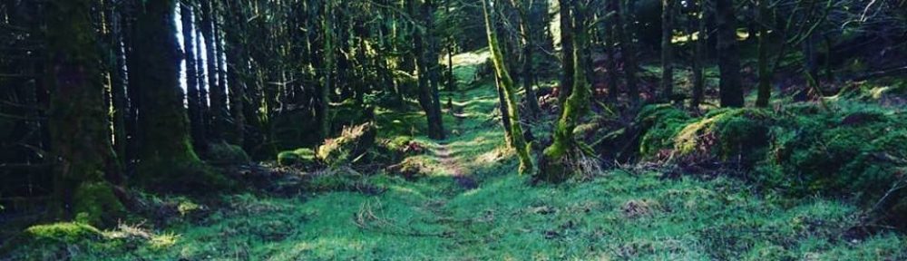
The direction signs around Glossop and Tintwistle are really poor – we bailed out for a short section after following the quite intricate meanderings of the Trans-Pennine Trail for a few miles, opting instead to climb the road out of Glossop (in horizontal rain) to rejoin the PBW near Lantern Pike. Once we got to the bridleway the rocky nature and steepness of the ride went up a gear – the trails that led us around the eastern flanks of Manchester and Oldham were getting progressively more viscious but down here the proper stuff kicked in.

For the first time in the ride we both dropped into our granny gears and proceeded to winch our way to the top of South Head, pausing briefly to take in the almost Alpine view from the top. Then the trail became very rocky and in parts quite technical – large loose rocks, steep steps and huge slabs had to be negotiated before descending for seemed like miles and miles of steep switchbacked trail to the welcome smooth tarmac of the road. A short, fast section of tarmac followed, then more climbing on rocky bridleway.
A quick call to Deb who was waiting with the van in Macclesfield and our journey is almost done. Just 10 or so more miles now to the rendezvous point at Buxton where we were collected, bikes in the back of the van and off to the nearest chippy for a portion of the most delicious chips I’ve ever tasted. As well as picking us up and driving us back to the cars in Walsden, Deb also went into the chippy for us. Cheers Deb 😉
13 hours ish, including lunch and brake pad fettling stops
103.56 miles
5452 metres / 17887 feet climb.
6 litres of energy drink, 8 gels, a truckload of cake consumed.
Dave’s account of the ride here

Glad there was lots of cake! What direction did you do the MTL?
clockwise
Awesome performance!
Good effort. Right I’m off to plan an epic.
Awesome ride!! Is there any chance of a map of the trails you should of taken?
Middle / large chainring all the way around the MLT, seriously? – Feeling a bit rubbish now.
there’s a Harvey map of the route available on the PBW website. It’s kind of waterproof too.
Great internet site I will come back.
Pingback: long live long rides « 40psi